Greta Hayes · 20 October 2026
Iron Mineral Formation Patterns Linked to Ancient Aquifer Systems in Remote Arid Basins
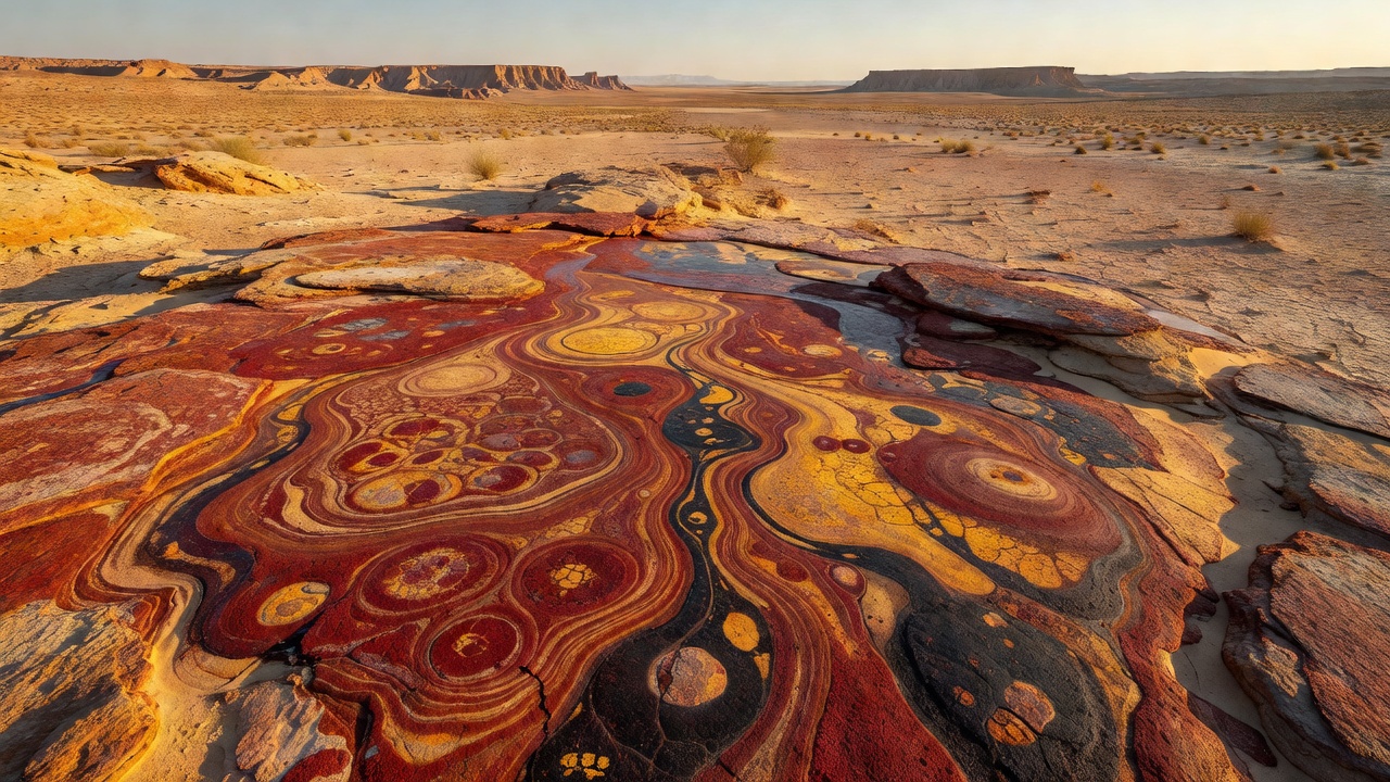
Remote arid basins preserve distinctive iron mineral signatures that trace back to ancient aquifer networks, where groundwater once flowed through fractured bedrock and sedimentary layers before the climate shifted to extreme dryness. Researchers map these patterns by examining oxidation fronts, mineral zoning, and isotopic ratios that record past water chemistry and flow directions. Data from multiple basins show iron oxides such as hematite and goethite concentrated along former recharge zones and discharge points, while reduced iron phases appear in deeper, less oxygenated pockets.
Geological Setting of Arid Basin Aquifers
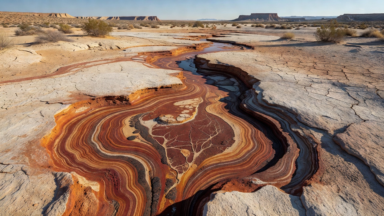
Ancient aquifers in regions like the western Sahara, the Atacama, and central Australia developed during wetter intervals when rainfall infiltrated basin margins and moved toward topographic lows. These systems created redox gradients as oxygenated water mixed with reducing sediments rich in organic matter or sulfide minerals. Over time, evaporation lowered water tables and exposed the aquifers to atmospheric oxygen, triggering widespread iron precipitation. Studies document layered deposits that follow paleochannel contours, with thicker accumulations where permeability contrasts forced water to pond or upwell.
Remote sensing combined with drilling reveals that iron enrichment often aligns with fault lines that once channeled groundwater. In several basins, hematite-cemented horizons extend laterally for kilometers yet maintain consistent thickness, indicating stable flow regimes rather than episodic flooding. Isotopic analyses of oxygen and hydrogen in associated minerals confirm that the original waters derived from regional precipitation patterns that differed markedly from today’s sparse rainfall.
Mineral Formation Mechanisms
Iron mineral formation begins with the mobilization of ferrous iron from primary silicates or detrital grains under mildly reducing aquifer conditions. As water migrates, changes in pH, Eh, and dissolved carbonate levels cause supersaturation and precipitation of iron carbonates or hydroxides. Subsequent exposure to oxygen converts these phases to stable oxides through dehydration and recrystallization. Researchers note that microbial activity can accelerate oxidation at shallow depths, producing distinctive botryoidal textures and fine-grained goethite rims around larger crystals.
Patterns emerge where iron concentrations peak near the former water table, forming a distinct redox boundary visible in outcrop and core samples. Below this boundary, magnetite or siderite may persist in reduced zones, while above it, hematite dominates. Cross-cutting relationships show multiple generations of mineralization tied to fluctuations in aquifer levels driven by climatic cycles. One study revealed that iron isotope fractionation increases systematically toward basin centers, reflecting progressive removal of heavier isotopes during transport and precipitation.
Regional Case Examples
In the Pilbara region of Australia, iron formations linked to paleo-aquifers exhibit clear alignment with buried channel systems mapped by geophysical surveys. According to Geoscience Australia reports, these deposits formed when groundwater discharged into evaporative basins, concentrating iron over repeated wetting and drying episodes. Similar features appear in the Namib Desert, where ancient aquifers associated with the Orange River system left iron-rich duricrusts along paleodrainage lines.
North American examples from the Mojave and Great Basin show iron oxide cements that record groundwater flow from mountain fronts toward playa lakes. Canadian Geological Survey mapping in the southern Yukon identifies comparable patterns in intermontane basins where permafrost now seals former aquifer pathways. Across these sites, mineral zoning consistently reflects the hydraulic gradient that existed before regional desiccation.
Recent Observations and Data Collection
During October 2026, new hyperspectral datasets released by international satellite programs allowed researchers to refine maps of iron mineral distribution across several remote basins. These datasets distinguish hematite from goethite at meter-scale resolution, revealing previously unrecognized channel segments that match aquifer models derived from hydraulic head reconstructions. Field teams verified the remote observations with portable spectrometers and confirmed that surface expressions accurately trace subsurface redox boundaries.
Groundwater sampling in accessible margins of these basins continues to provide modern analogs for ancient chemistry. Measurements of dissolved iron, sulfate, and bicarbonate help calibrate numerical models that simulate long-term aquifer evolution. Figures from ongoing monitoring programs indicate that even low modern recharge rates sustain localized redox reactions capable of altering mineral assemblages over decadal timescales.
Conclusion
Patterns of iron mineral formation in remote arid basins record the legacy of ancient aquifer systems through consistent spatial relationships, mineralogical zoning, and isotopic signatures. Researchers continue to integrate field observations, remote sensing, and geochemical modeling to reconstruct past groundwater dynamics and refine exploration criteria for similar deposits elsewhere. The alignment between iron enrichment zones and paleohydrologic features provides a reliable framework for understanding how water movement shaped mineral resources long before present-day aridity set in.